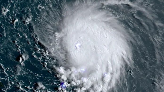
BRIDGETOWN, Barbados (CMC) — The Miami-based National Hurricane Centre (NHC) says a weather system, which could become the next tropical cyclone, is continuing to show signs of development.
In the forecast on Sunday, NHC said the low-pressure system, which is located about 1,000 miles east of the Lesser Antilles, is producing showers and thunderstorms.
“Environmental conditions appear conducive for the gradual development of this system, and a tropical depression is likely to form within the next couple of days while the system approaches and then moves near or over the Leeward Islands,” NHC said.
If the system develops into a tropical storm, it will be called Ernesto.
Meteorological and disaster management agencies in the region have put residents on notice to prepare for the potential storm.
Heavy rain from this feature will pose the risk of flash flooding and mudslides across several islands, especially across the mountainous terrain. In general, tropical rainfall totals will range up to two to four inches across Guadeloupe, Antigua and Barbuda, Montserrat, St Kitts and Nevis, and Anguilla.
Farther west, into Puerto Rico and the Virgin Islands, totals can range much higher, between four to eight inches, while parts of the mountains in Puerto Rico near where the storm tracks can pick up between eight to 12 inches of rain.
Rainfall amounts to this degree can lead to intense flooding, washouts, dangerous travel, and mudslides across the eastern and northern Caribbean Islands.

